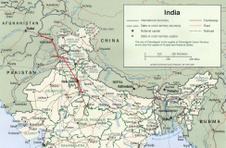
 Map of northern India & Pakistan. Map of northern India & Pakistan.
| 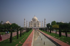 The Taj Mahal, Agra, India. The Taj Mahal, Agra, India.
| 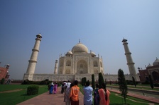 The Taj Mahal. The Taj Mahal.
| 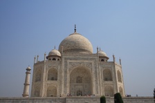 The Taj Mahal. The Taj Mahal.
|
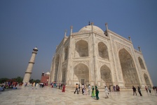 The Taj Mahal. The Taj Mahal.
|  The Taj Mahal. The Taj Mahal.
| 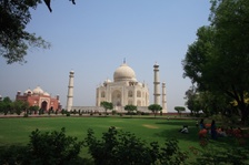 The Taj Mahal. The Taj Mahal.
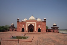
| 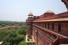 Agra Fort. Agra Fort.
|
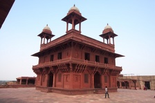 Fatehpur Sikri. Fatehpur Sikri.
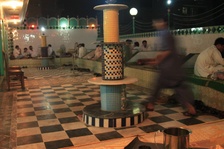
| 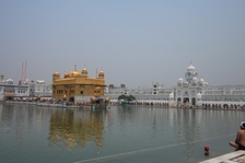 The Golden Temple, Amritsar, Punjab. The Golden Temple, Amritsar, Punjab.
|  The Golden Temple. The Golden Temple.
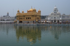
|  The Golden Temple complex. The Golden Temple complex.
|
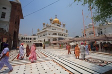
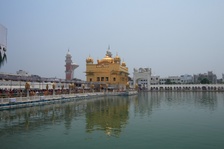 The Golden Temple. The Golden Temple.
| 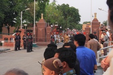 Indo-Pak border closing ceremony, Wagah, Pakistan. Indo-Pak border closing ceremony, Wagah, Pakistan.
| 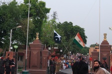 Lowering the flags, Indo-Pak border closing ceremony. Lowering the flags, Indo-Pak border closing ceremony.
| 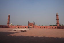 Badshahi Mosque. Badshahi Mosque.
|
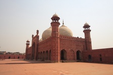 Badshahi Mosque. Badshahi Mosque.
| 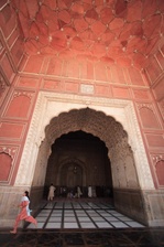 Badshahi Mosque. Badshahi Mosque.
| 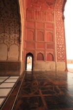 Badshahi Mosque. Badshahi Mosque.
| 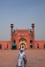 Badshahi Mosque. Badshahi Mosque.
|
 Outside Lahore Fort. Outside Lahore Fort.
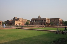
| 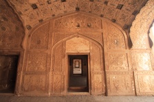 Lahore Fort. Lahore Fort.
| 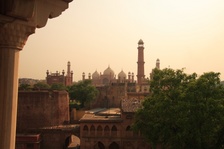 From Lahore Fort. From Lahore Fort.
| 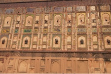 Lahore Fort outer wall. Lahore Fort outer wall.
|
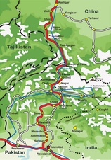 Map of northern Pakistan. Map of northern Pakistan.
| 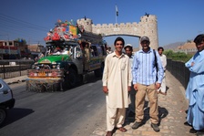 Gateway to the Khyber tribal agency, outside Peshawar, Northwest Frontier Province. Gateway to the Khyber tribal agency, outside Peshawar, Northwest Frontier Province.
| 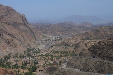 The Afghan border, Khyber Pass. The Afghan border, Khyber Pass.
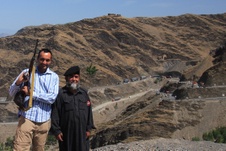
| 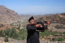 Afridi tribal security escort. Afridi tribal security escort.
|
 At the Khyber Pass. At the Khyber Pass.
| 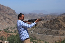 At the Khyber Pass. At the Khyber Pass.
| 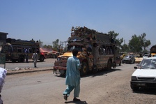 Peshawar. Peshawar.
|  At the Smuggler's Bazaar. At the Smuggler's Bazaar.
|
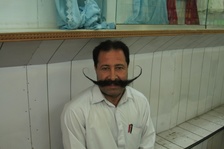
 Pashtun dining in Peshawar. Pashtun dining in Peshawar.
| 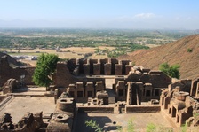 Takht Bhai buddhist monastery, Mardan. Takht Bhai buddhist monastery, Mardan.
| 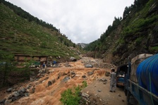 Flooding on the Lowari Pass, Northwest Frontier Province. Flooding on the Lowari Pass, Northwest Frontier Province.
| 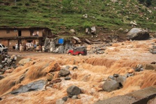 Flooding on the Lowari Pass. Flooding on the Lowari Pass.
|
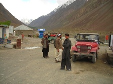 On the Lowari Pass. On the Lowari Pass.
| 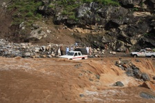 Flooding on the Lowari Pass. Flooding on the Lowari Pass.
| 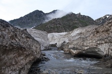 Road through the glaciers, Lowari Pass. Road through the glaciers, Lowari Pass.
| 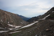 On top of the Lowari Pass. On top of the Lowari Pass.
|
