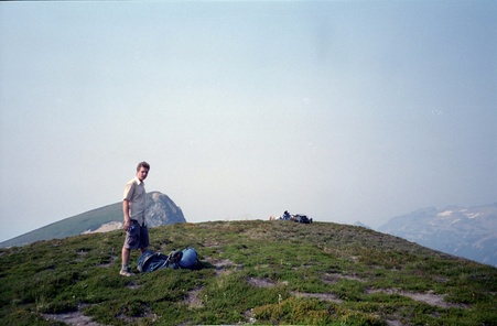
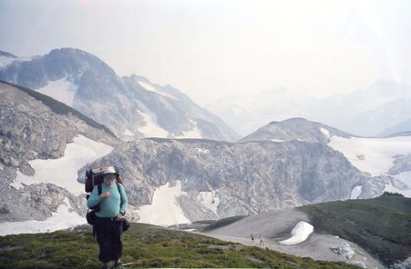
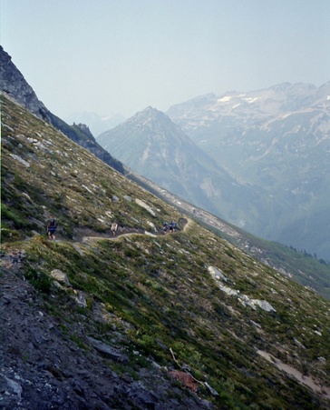
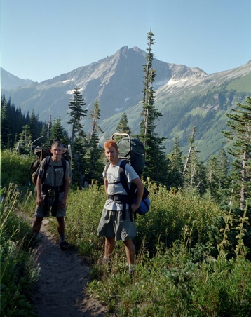
Troop 24 "The High Adventure Troop" Backpacking Trip
-Cascade Bill Mooseker
Date(s): August 2001. Album by cascade_bill. Photos by WHM and Andrew. 1 - 125 of 125 Total. 7358 Visits.
enlarge 190KB, 800x522 1 Kickass II - August 2001
enlarge 171KB, 800x610 2 picnvids1
To enlarge Images to view at Original size (best for maps, etc.), click on the Thumbnail to enlarge the Image. Then Ctrl-Click on the enlarged Image. The cursor will change to a "+". Click on an area of the Image you want enlarge to the "Original" resolution. You can use the horizontal and vertical sliders to position the screen over the area of the Image you want to inspect. Click again to reduce back to fit the screen again.
If you want to save photos to your computer, click the box under the thumbnails of all the Imagess you want to download (or check the "select all" box at the bottom of the album). Then click the "Download" button at the top of the album. Pick the size you'd like to download (Original is best)and the Images will be downloaded as a zip file to the folder of your choice.
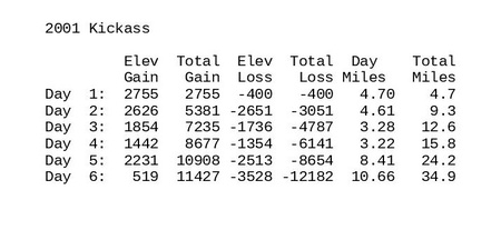
enlarge 79KB, 900x413 3 ka2001.sum Summary of the daily and cumulative elevation gain/loss and miles hiked for the trip.
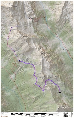
enlarge 213KB, 592x800 4 ka2001 Day 1 DAY 1
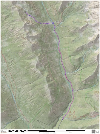
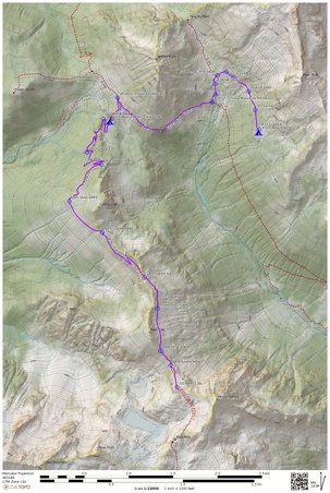
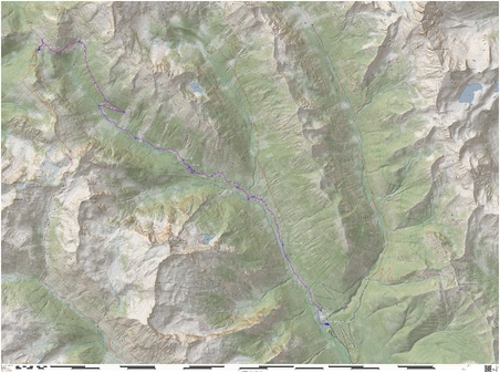
Online Caltopo Map for Day 1 is HERE
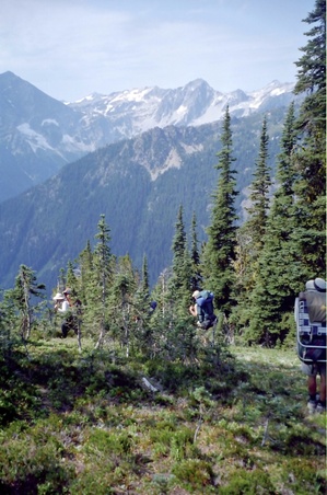
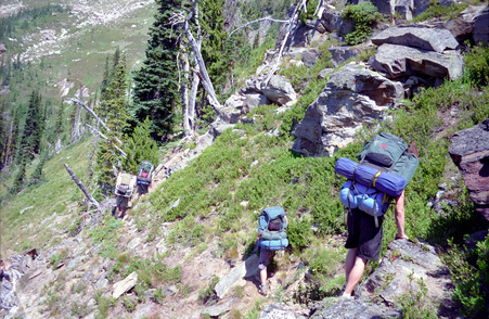
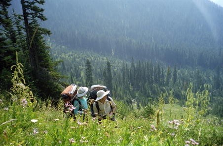
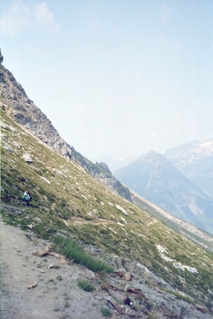
Day 1 starts at the Phelps Cr trailhead with a fairly scenic hike up the valley along with the throngs heading to Spider Meadow for the weekend. Following the directions in the old "Routes and Rocks" guidebook, we veer off the trail and descend to a crossing of Phelps Cr and find vague tread of an old sheepherder's trail heading up the mountain. It's a brutal climb and eventually following a stream to a meadowed bench for our camp with great views across the valley to Mt Maude and Seven Fingered Jack.
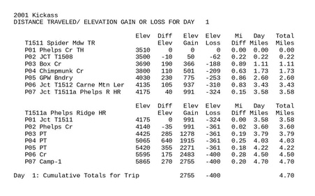
enlarge 134KB, 900x560 5 ka2001.out1 Stats for Day 1
Waypoints (WP) correspond to those shown on the Caltopo Map. Stats include the Elevation; change in Elevation from the previous WP; Up/Down; Cumulative Elevation gain/loss; Distance in miles from previous WP; Cumulative Mileage for the Day; Cumulative Mileage for the Trip/
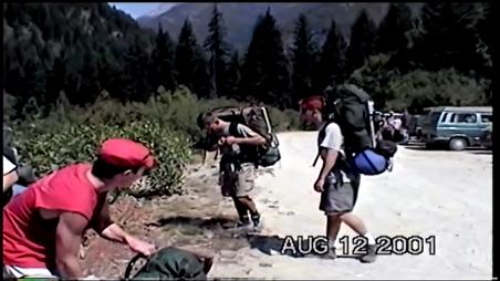
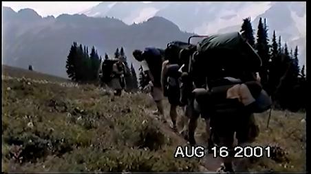
enlarge 34.03MB, 900x506 6 2001 ka 001a fake oakleys.mp4 VIDEO - Click Photo to View. What is a Fake Oakley?
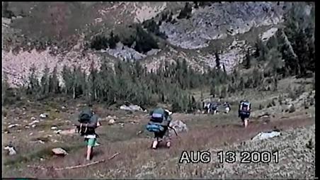
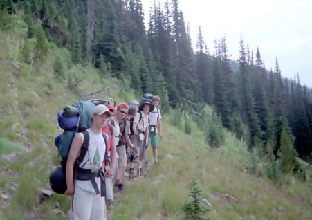
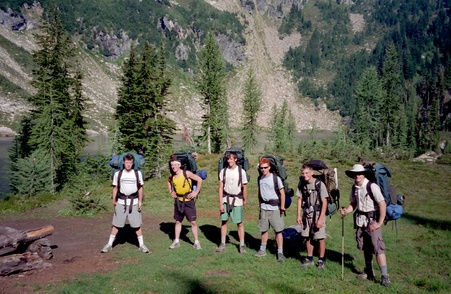
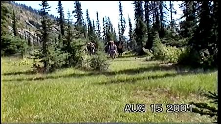
Getting ready to head out from the Phelps Creek Trailhead. We've shuttled the cars so that when we come out at Trinity, we'll have to go and retreive the car at Phelps Cr TH but not have to send someone on foot as I have had to do on a couple of occasions.
enlarge 147KB, 800x524 7 2001-364-011
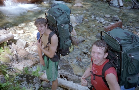
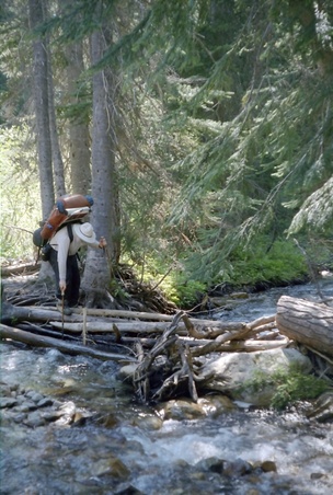
The Phelps Ridge route begins with a ford of Phelps Creek. Andrew and Shelby in foreground.
enlarge 164KB, 800x521 8 2001-364-012
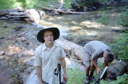
Danny and Eric at the Phelps Creek Ford. A little cool relief before the hot steep climb up the old abandoned sheepdrive over Phelps Ridge.
enlarge 214KB, 800x526 9 2001-364-013
Its a long climb to the meadows and the old tread helps keep one on the right track. This camp is on the eastern side of Phelps Ridge. A few thunderclouds prompted Shelby to prepare a shelter for the night.
enlarge 250.55MB, 900x506 10 2001 ka 002b camp 1.mp4 VIDEO - Click Photo to View.
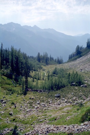
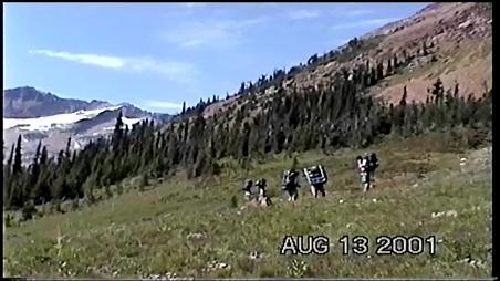
The Phelps Ridge Trail is an abandoned sheep drive that takes off from the Phelps Cr (Spider Meadow) trail near Leroy Creek. It is insanely steep but fairly easy to find (at least it was in 2001). We camped in this nice meadow with great views across the valley of Mt Maude and Seven fingered Jack.
enlarge 114KB, 800x521 11 2001-364-014
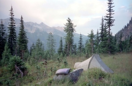
Entiat Ridge as seen from our camp on Phelps Ridge. My brand new "Lightyear" 1 man tent is in the foreground.
enlarge 113KB, 524x800 12 2001-364-015
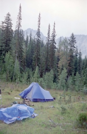
The old Clip 3 into which we crammed 5 young scouts on the mini-miler in 1994.
enlarge 112KB, 524x800 13 2001-364-016 Shelby and Eric preparing dinner
enlarge 191KB, 503x800 14 ka2001 Day 2 DAY 2
Online Caltopo Map for Day 2 is HERE
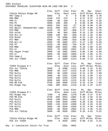
Day 2 starts off with a pleasant jaunt up meadows and finally following a faint trail up to the ridge top. After descending to a nice basin from the ridge, you begin what we came to refer to as "Bastard Miles": Bushwhacking thru brush; looking for an sign of a trail that will occasionally appear and then disappear again a short distance later. We made camp near the junction with the Chiwawa Trail. I stayed in camp as the boys headed up the trail till its end and then climbed up to the ridge overlooking Spider Gap.
enlarge 179KB, 660x800 15 ka2001.out2 Stats for Day 2
Waypoints (WP) correspond to those shown on the Caltopo Map. Stats include the Elevation; change in Elevation from the previous WP; Up/Down; Cumulative Elevation gain/loss; Distance in miles from previous WP; Cumulative Mileage for the Day; Cumulative Mileage for the Trip/
enlarge 168KB, 526x800 16 2001-365-001 Getting ready to leave in the morning- Roger, Danny, & Eric.
enlarge 56.58MB, 900x506 17 2001 ka 003a day 2 breaking camp.mp4 VIDEO - Click Photo to View. Breaking Camp
enlarge 117KB, 535x800 18 2001-364-017 Andrew with Carne Mountain in background.
enlarge 122KB, 800x569 19 2001-364-018 Leaving camp - Danny and Andrew.
enlarge 183KB, 594x800 20 2001-365-002
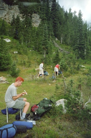
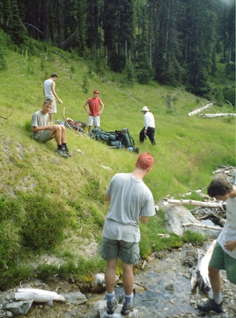
Filling water bottles at stream in upper Phelps ridge meadows- Shelby, Chip, Eric, & Bill (on bank) Roger & Danny in foreground.
enlarge 163KB, 567x800 21 2001-365-003
Shelby takes a break - The old tread can be seen just below the rockface above. It traverses the ridge but is lost in the meadows above.
enlarge 35.65MB, 900x506 22 2001 ka 004a day 2 meadows phelps cr.mp4 VIDEO - Click Photo to View.
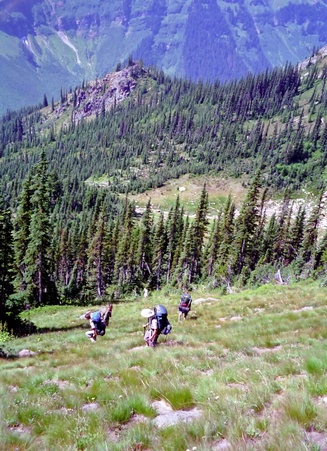
Heading into the upper basin before climbing up to the ridge crest. Andrew and I had day hiked this portion in 1994 up to the ridge crest.
enlarge 196KB, 525x800 23 2001-364-019
Guys heading up to the old tread which follows the green belt up between the darker pines above the rocks.
enlarge 157KB, 536x800 24 2001-365-004
Looking back down from the old tread - Bill is beginning the climb below.
enlarge 210KB, 556x800 25 2001-364-020
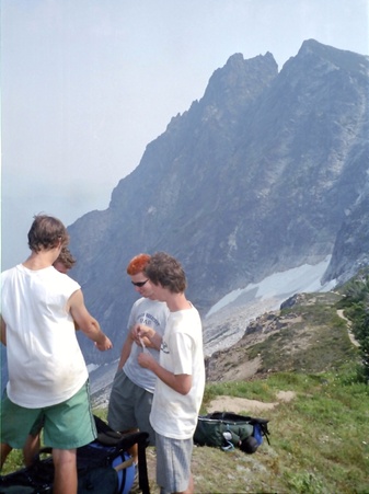
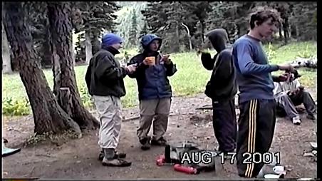
Taking a break at the ridgetop - Shelby, Eric, Roger the red, Danny, Chip, and Andrew (behind Chip)
enlarge 56.39MB, 900x506 26 2001 ka 005a day 2 pinochle break.mp4 VIDEO - Click Photo to View.
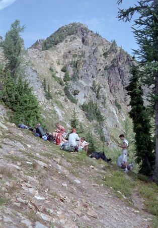
Taking a long break at the crest of Phelps Ridge. The usual card game is in progress.
enlarge 183KB, 529x800 27 2001-365-005 Bill, Chip, and Shelby
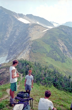
Start of the "Bastard Miles" - descending the western slopes of Phelps Ridge. Up till this point the trail, such as it was, had been fairly easy to follow. On the other side of the ridge it became much more difficult.
enlarge 117KB, 800x563 28 2001-364-021
Chip, Eric, Roger, Shelby, Andrew, and Danny - Every now and then we can find a section of the old tread such as this one crossing a break in the trees.
enlarge 131KB, 520x800 29 2001-364-022
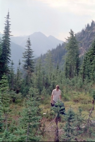
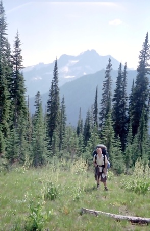
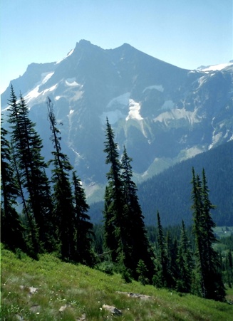
Buck Mountain from Phelps Ridge. - Andrew . After a long slog through the woods in a mostly futile search for the old trail we finally come out into the meadows. Buck Mtn beyond Andrew.
enlarge 190KB, 800x522 30 2001-365-006
After a series of false trails we finally hook up to the old tread again and are soon just one basin over from the Red Mountain trail (I recognized it from our Sept 1999 trip to Chiwawa Basin found HERE).
enlarge 66.03MB, 900x506 31 2001 ka 006a day 2 bastard miles.mp4 VIDEO - Click Photo to View.
I had hoped that we would be able to get to Massie Lake to camp, but the "Bastard" miles had taken their toll and sapped our (at least mine) time and energy. The video shows the scenic upper Chiwawa valley including Chiwawa and Fortress mountains.
enlarge 100KB, 800x570 32 2001-364-023
Fortress Mountain looms over the Chiwawa valley. We camped here for the night - a beautiful spot. I was not too disappointed that we hadn't made Massie Lake as planned as it was across the valley and many "bastard" miles away, including as steep and difficult a trail as the one coming up Phelps Ridge.)
enlarge 66.23MB, 900x506 33 2001 ka 007a day 2 Camp 2.mp4 VIDEO - Click Photo to View.
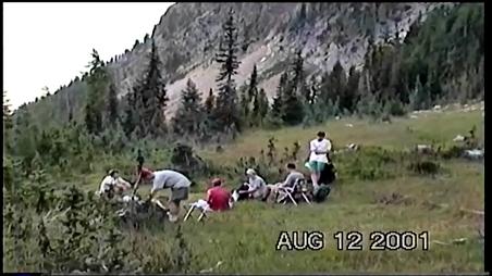
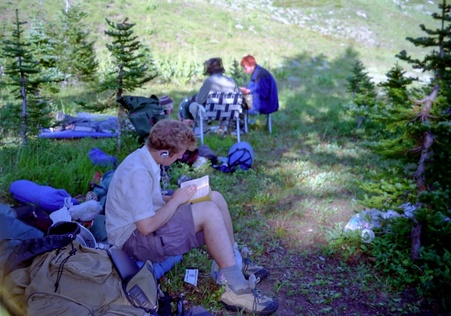
Our camp site just off the Red Mtn Trail. Usually, we're getting into camp fairly late and having to do dishes using headlamps. Today we were early and had time to enjoy some leisure time in camp.
enlarge 127KB, 555x800 34 2001-365-007
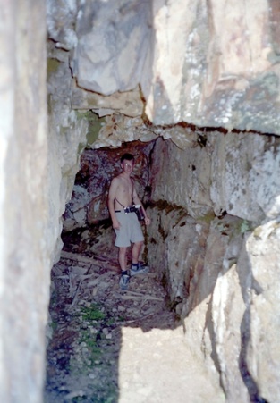
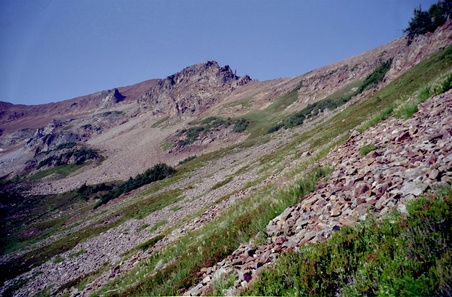
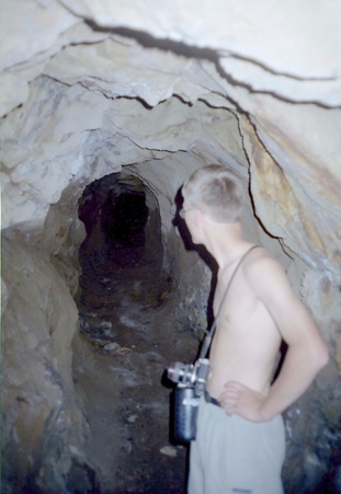
With time and energy to burn, Andrew, Shelby, and Roger hiked up the old Red Mountain trail (actually an old road built to access a couple of mining adits high up on the ridge). Shelby is exploring this one.
enlarge 237KB, 676x800 35 2001-365-008
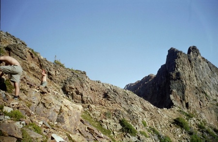
Shelby and Roger hiking up to the top of the ridge from old mine site.
enlarge 158KB, 800x522 37 2001-365-010 Meadows below Red Mountain.
enlarge 222KB, 800x525 38 2001-365-011 The Ridgetop is getting closer.
enlarge 103KB, 551x800 39 2001-365-012 Shelby inspects another old shaft further up the hill.
enlarge 161KB, 800x522 40 2001-365-013 Roger pondering the route.
enlarge 139KB, 544x800 41 2001-365-015
View over the edge - Spider Meadow is in shadow as the sun sets. Seven Fingered Jack and Mt. Maude crown Entiat Ridge across the valley.
enlarge 154KB, 800x523 42 2001-365-014
Showing almost the full length of the Spider Glacier with Spider Gap at the pass at the left of the photo.
enlarge 154KB, 800x525 43 2001-365-016
Far below the foot of the Spider Glacier can be seen. We've been up that way many times before.
enlarge 125KB, 800x522 44 2001-365-017
Andrew on Phelps Ridge above the Spider Glacier - Spider Gap can be seen beyond at the top of the Spider Glacier.
enlarge 121KB, 548x800 45 2001-365-018 Looking southwest across the Chiwawa valley to Buck Mountain.
enlarge 182KB, 603x800 46 ka2001 Day 3 DAY 3
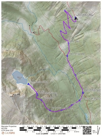
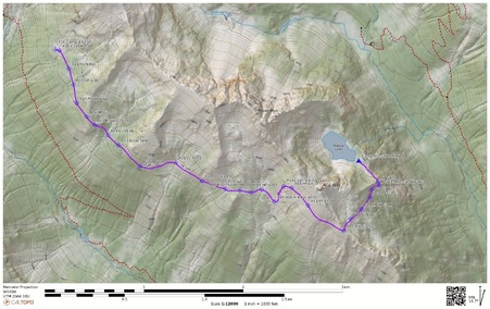
Online Caltopo Map for Day 3 is HERE
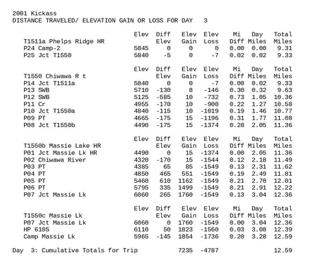
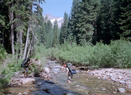
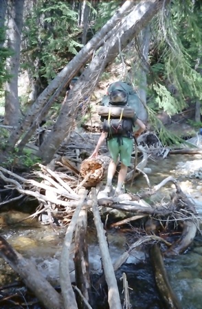
Day 3 begins with an easy descent following the Chiwawa R trail. Following the directions in the "Routes and Rocks" book, we veer off the trail to find and almost identical version of our Day 1 ascent of Phelps Ridge. After crossing the Chiwawa (some of us waded and others crossing on a jumble of logs) we head up on very steep faint trail until we leave the forest for a meadow. The cutoff to Massie Lake isn't far. Rounding a shoulder, you spy beautiful Massie Lake and with a short descent you reach a fine campsite. For all its beauty and scenery, you would have wasted a trip if you came for the fishing as I've only seen one fish caught here in the three times I've been here (never got a strike myself).
enlarge 166KB, 800x695 47 ka2001.out3 Stats for Day 3
Waypoints (WP) correspond to those shown on the Caltopo Map. Stats include the Elevation; change in Elevation from the previous WP; Up/Down; Cumulative Elevation gain/loss; Distance in miles from previous WP; Cumulative Mileage for the Day; Cumulative Mileage for the Trip/
enlarge 181KB, 800x582 48 2001-364-024
Roger and Shelby elect to ford the stream rather than use the logs and branches. Just beyond the ford the old sheep driveway climbs very steeply up to Massie Lake.
enlarge 170KB, 521x800 49 2001-364-025 Danny crossing the Chiwawa River.
enlarge 188KB, 538x800 50 2001-365-019 Bill's turn over the Chiwawa River. The footing is tricky.
enlarge 199KB, 800x687 51 2001-364-026
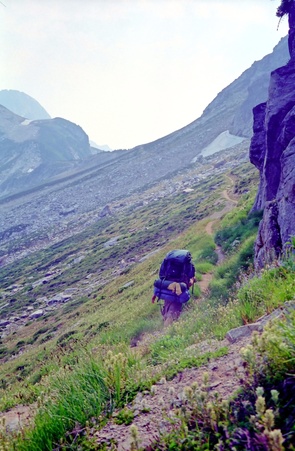
Bill on his way up the Massie Lake Trail. Although the trail has been long abandoned, the old tread can still be followed. It is hard to believe that horses once used to use this trail it is so steep.
enlarge 210KB, 526x800 52 2001-364-027
The old tread breaks out of the woods and at the top of this switchback, a spur trail leads around the shoulder for a quick descent to Massie Lake.
enlarge 203KB, 524x800 53 2001-364-028 Danny and Andrew - Almost to the top.
enlarge 246KB, 521x800 54 2001-364-029
Rounding the bend, Massie Lake comes into view - Danny and Andrew are almost there.
enlarge 164KB, 800x525 55 2001-365-020
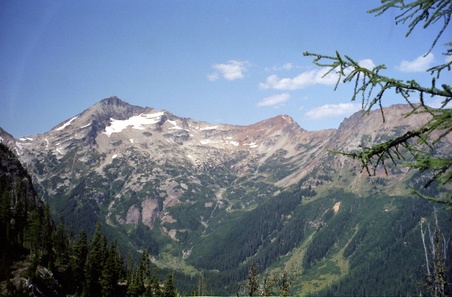
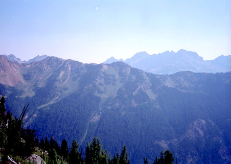
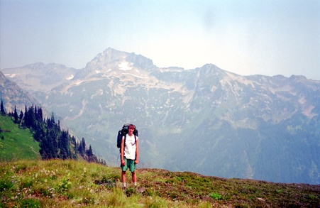
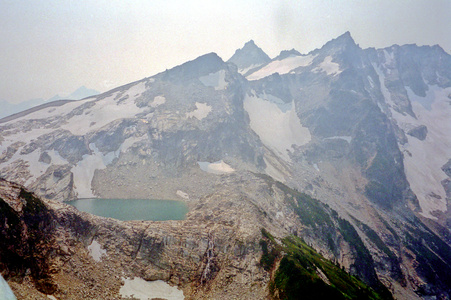
L to R: Chiwawa Mtn (8459'), Peak 8134' ,and Red Mtn (7646) anchor Phelps Ridge across the Chiwawa valley.
enlarge 110KB, 800x527 56 2001-365-021
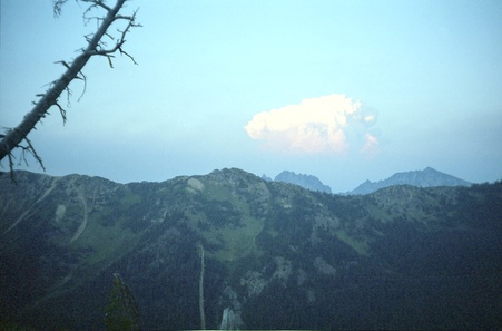
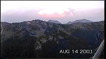
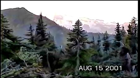
As night fell we saw this weird cloud to the east. Turns out it was from a fire near Lake Chelan. Although we weren't affected by the smoke, hazy skies persisted for the rest of the trip as evident in the photos.
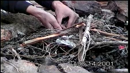
enlarge 90.43MB, 900x506 57 2001 ka 008a day 3 how to start a fire.mp4 VIDEO - Click Photo to View.
enlarge 109.36MB, 900x506 58 2001 ka 009 day 3 Phelps Ridge from Massie Lake.mp4 VIDEO - Click Photo to View.
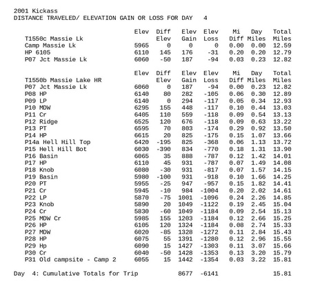
enlarge 177KB, 800x503 59 ka2001 Day 4 DAY 4
Online Caltopo Map for Day 4 is HERE
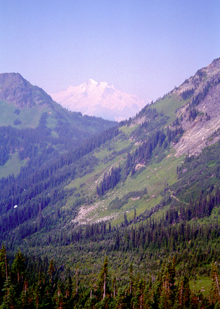
We retrace our steps back up to the trail and continue on good tread up to the ridge separating the Chiwawa River and Buck Creek. The tread peters out in the high (and steep) meadows. At one point, you descend through rocks to a steep meadow that you have to climb down (you can see the basin you want to reach) and finally find some tread. The route along the ridge is a little more reasonable than that of Phelps Ridge, with more frequent stretches of trail (especially as you near Buck Cr Pass). We found a gem of a camp in a meadow with great views of Buck Mtn and Glacier Peak.
enlarge 192KB, 800x753 60 ka2001.out4 Stats for Day 4
Waypoints (WP) correspond to those shown on the Caltopo Map. Stats include the Elevation; change in Elevation from the previous WP; Up/Down; Cumulative Elevation gain/loss; Distance in miles from previous WP; Cumulative Mileage for the Day; Cumulative Mileage for the Trip/
enlarge 200KB, 800x523 61 2001-365-023
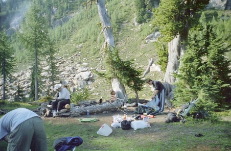
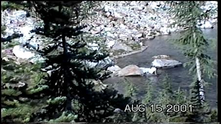
Breaking camp at Massie Lake - This is a very beautiful lake with nice campspots.
enlarge 67.86MB, 900x506 62 2001 ka 010 day 4 Leaving Massie Lake Camp.mp4 VIDEO - Click Photo to View.
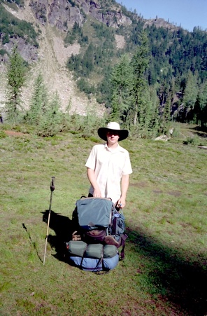
enlarge 198KB, 524x800 63 2001-364-031 Andrew packed up and ready to go
enlarge 238KB, 800x521 64 2001-364-032 Chip, Eric, Danny, Roger, Shelby and Andrew - Ready to leave Massie Lake.
Danny on Massie Lake High Route above Massie Lake. The trail heads up to the right of that rocky outcrop above.
enlarge 163.71MB, 900x506 67 2001 ka 011 day 4 Massie Lake High Rte break.mp4 VIDEO - Click Photo to View.
enlarge 128KB, 800x568 68 2001-364-034
Across the way is our route along the western side of Phelps Ridge. We crossed the ridge at the low point to the right of the photo.
enlarge 176KB, 628x800 69 2001-365-027
Bill climbing up to ridge top above Massie Lake (as seen in the previous photo) - Red Mtn on Phelps Ridge is across Valley.
enlarge 185KB, 800x524 70 2001-364-035
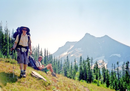
Chip and Eric - the vague tread that brought us here peters out in the meadow beyond and we are on our own. Glacier Peak can be seen behind the trees to the left.
enlarge 195KB, 800x521 71 2001-366-001
Breaktime on the ridge crest - Chip, Eric, Andrew, Roger & Danny You can see the rocky outcrop beyond
enlarge 133KB, 800x535 72 2001-365-025 Andrew and Glacier Peak
enlarge 113KB, 800x523 73 2001-365-026 Buck Mountain across the way.
enlarge 172KB, 538x800 74 2001-365-028
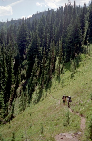
Starting out - the tread soon disappears. We scouted ahead traversing across steep meadows and finally find a way down through the cliffs.
enlarge 147KB, 580x800 75 2001-365-029 Buck Mountain slowly slips behind us as we traverse the ridge.
enlarge 418KB, 800x521 76 2001-366-002
There appeared to have been some use of this shortcut through the rocks to the meadow beyond.
enlarge 271KB, 580x800 77 2001-366-003
A steep descent down the meadow then a traverse to a large basin which was noted as a camp on the Routes and Rocks map had no water this year. We also pick up the vague tread again as it leaves the basin.
enlarge 96.22MB, 900x506 78 2001 ka 012 day 4 Massie Lake High Rte basin.mp4 VIDEO - Click Photo to View.
enlarge 167KB, 800x556 79 2001-366-004
Andrew and Danny at one of the many basins along the route. Buck Mountain beyond.
enlarge 192KB, 800x525 80 2001-365-033 Bill and Andrew ponder the route. The vague tread continues.
enlarge 203KB, 564x800 81 2001-366-005
Danny traversing Massie Ridge. The High Pass route goes up the ridge across the valley.
enlarge 188KB, 531x800 82 2001-365-030
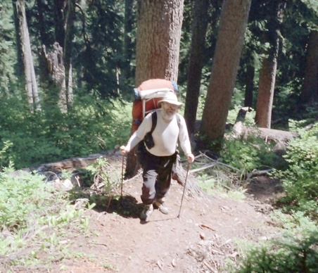
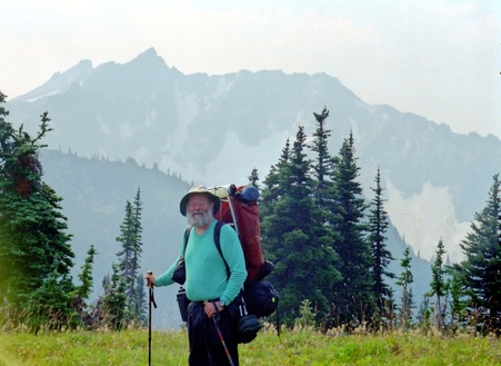
Cascade Bill taking a break near the end of the days travel. Andrew got quite a laugh at the grizzled prospector look.
enlarge 202.65MB, 900x506 83 2001 ka 013 day 4 Massie Lake High Rte Camp 4.mp4 VIDEO - Click Photo to View.
enlarge 183KB, 800x560 84 2001-366-006 Quiet time in camp along Massie Ridge.
enlarge 334KB, 800x519 85 2001-366-007
Hazy sky obscures the view to the east. We found that the haze was due to fires started by the thunderstorms our first night out.
enlarge 99KB, 800x530 86 2001-365-031
As the sun dips below the horizon, Glacier Peak shimmers in the distance
enlarge 143.39MB, 900x506 87 2001 ka 014 day 4 Massie Lake High Rte Camp 4 Twilight.mp4 VIDEO - Click Photo to View.
enlarge 205KB, 536x800 88 ka2001 Day 5 DAY 5
Online Caltopo Map for Day 5 is HERE
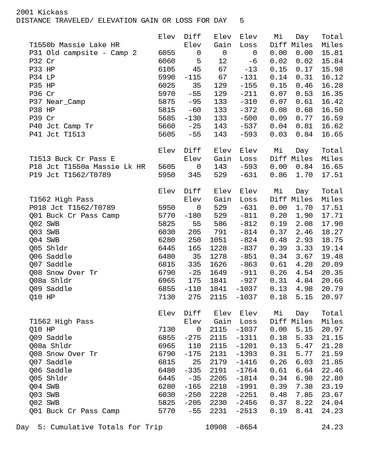
The rest of the Massie Lk HR was on pretty good tread until we reached the superhighway of the Buck Cr Pass Trail. We reached the Pass and continued on the High Pass Trail. Our goal was to go over High Pass to a high camp (That my son Greg and I had used in 1990). Unfortunately, the problematic snowfield at High Pass had not melted out so I made the decision to backtrack to Buck Cr. Pass to camp.
enlarge 188KB, 656x800 89 ka2001.out5 Stats for Day 5
Waypoints (WP) correspond to those shown on the Caltopo Map. Stats include the Elevation; change in Elevation from the previous WP; Up/Down; Cumulative Elevation gain/loss; Distance in miles from previous WP; Cumulative Mileage for the Day; Cumulative Mileage for the Trip/
enlarge 62.49MB, 900x506 90 2001 ka 015 day 5 Massie Lake High Rte.mp4 VIDEO - Click Photo to View.
enlarge 324KB, 568x800 91 2001-366-008
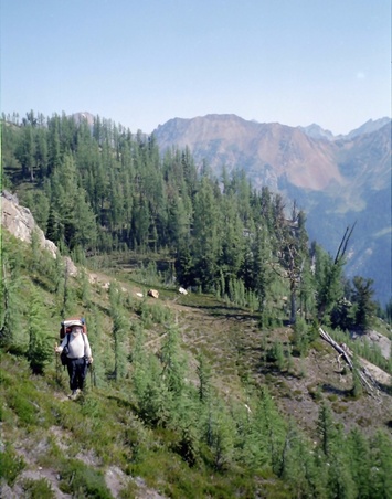
The tread can be seen traversing the ridge. It dissapears for good when it drops into the meadows below Helmut Butte beyond.
enlarge 197KB, 800x558 92 2001-366-009 Danny and Andrew disappear around the bend.
enlarge 176KB, 800x543 93 2001-366-010
Andrew, Roger, Danny, Eric, and Shelby - taking a break along trail to High Pass above Buck Creek Pass. Helmut Butte in background.
enlarge 155KB, 800x583 94 2001-366-011 Cascade Bill along trail to High Pass.
enlarge 97.15MB, 900x506 95 2001 ka 016 day 5 Buck Cr Pass to High Pass 1.mp4 VIDEO - Click Photo to View.
enlarge 140KB, 800x519 96 2001-366-012
Danny along Trail to High Pass - the Massie Lake High Route followed the benches of the ridge across the valley.
enlarge 106KB, 800x523 97 2001-365-034 Looking across the valley at our route of the day before.
enlarge 59KB, 800x580 98 ka084 Our camp was in the first small meadow above the forest on the left.
enlarge 61KB, 800x592 99 ka083 More of the Massie Lake High Route
enlarge 48KB, 800x580 100 ka082
Massie Lake High Route follows the benches of the ridge across the Buck Creek Valley. Note Seven Fingered Jack and Mount Maude in the hazy distant ridge.
enlarge 175KB, 519x800 101 2001-366-013
Andrew along trail to High Pass - this route was constructed to be part of an alternate of the Cascade Crest Trail on the east side of Glacier Peak. That project was abandoned and the trail dead ends at a pass near Triad Lake.
enlarge 186KB, 523x800 102 2001-366-014
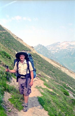
Andrew heading up the trail which ends at the saddle above. The trail is not maintained and there are a couple of spots where you need sure feet and a calm head.
enlarge 135KB, 536x800 103 2001-365-036 Looking back along trail - Bill has almost made it to the saddle.
enlarge 136KB, 608x800 104 2001-365-037 Andrew above Triad Lake.
enlarge 126KB, 597x800 105 2001-365-038 Guys taking a break at viewpoint above Triad Lake.
enlarge 170KB, 529x800 106 2001-366-017
The constructed trail ends at the saddle below, but a crude boot track continues up the next hill to High Pass. (Danny and Roger)
enlarge 281KB, 800x531 107 2001-366-016 Triad Lake
enlarge 153KB, 563x800 109 2001-366-020 On our way...
enlarge 128KB, 800x523 110 2001-365-039
The old "bootworn" track is very steep. The guys are near the top of the first section.
enlarge 153KB, 536x800 111 2001-366-021
High Pass lies at the head of this snowfield. We thought we would be able to cross this because of the low snowpack but the snow field blocked our progress and we would have to return to Buck Creek Pass to camp.
enlarge 185.86MB, 900x506 112 2001 ka 017 day 5 Adios Napeequa.mp4 VIDEO - Click Photo to View.
enlarge 136KB, 568x800 113 2001-366-022 Triad Lake - Danny and the guys went down for a swim. Brrrr!
enlarge 124KB, 800x525 114 2001-366-023 Andrew - Ready to head back to Buck Creek Pass.
enlarge 119KB, 800x524 115 2001-365-041
Bill - if only we could get over that snowfield and down the Napeequa. Not this year. (Shelby and Danny below are returning from side trip to Triad Lake)
enlarge 87KB, 800x525 116 2001-366-024 Andrew
enlarge 190KB, 645x800 117 2001-366-025 Back down the Trail.
enlarge 122KB, 800x586 118 2001-365-042 Andrew at camp at Buck Creek Pass.
enlarge 231KB, 800x596 119 ka2001 Day 6 DAY 6
Online Caltopo Map for Day 6 is HERE
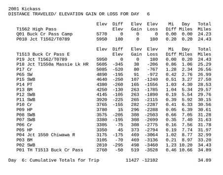
This was a typical last day - a lot of miles and a long descent. Not much fun but with visions of Burgers and Shakes at the 59'r Diner we made it.
enlarge 158KB, 800x628 120 ka2001.out6 Stats for Day 6
Waypoints (WP) correspond to those shown on the Caltopo Map. Stats include the Elevation; change in Elevation from the previous WP; Up/Down; Cumulative Elevation gain/loss; Distance in miles from previous WP; Cumulative Mileage for the Day; Cumulative Mileage for the Trip/
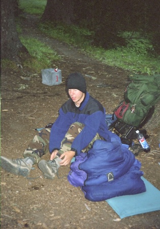
enlarge 152KB, 558x800 121 2001-365-043 Roger getting ready for the hike out to the car.
enlarge 140KB, 532x800 122 2001-365-044
Chip putting the tent away for the last time on this hike. It was Chip's last night camping with the troop! (rev 10/2022)
enlarge 167.68MB, 900x506 123 2001 ka 018 day 6 Camp 5 Oatmeal Breakfast.mp4 VIDEO - Click Photo to View.
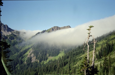
enlarge 143KB, 800x521 124 2001-366-027
During the night, the onshore flow brought a sea of clouds in from the west blanketing Buck Creek Pass in fog and mist. Buck Creek Pass is on the Cascade Crest and on the east side of the pass the fog gives way to sun and clear skies - a most unusual sight.
enlarge 217KB, 634x800 125 2001-366-026 Shelby and Roger - ready for the burger at the end of the trail.