 | 1.
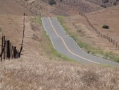
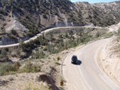
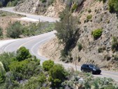
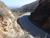
STATE HIGHWAY 58 Kern County
Road travels mainly east/west
Outside of Studio Zone
Approx 3 hrs from Los Angeles |
| 98 Visits
188 Images
Linked Album
locationlink | |
|
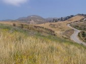
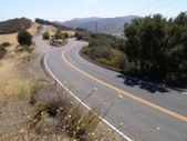
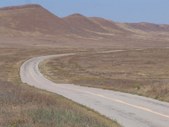 | 2.
SODA LAKE ROAD Kern County
Road travels mainly northwest/southeast
Outside of Studio Zone
Approx 2.5 hrs from Los Angeles |
| 97 Visits
84 Images
Linked Album
locationlink | |
|
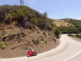
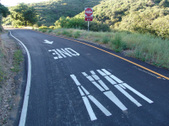
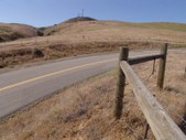 | 3.
CERRO NORESTE ROAD Kern County
Road travels mainly northwest/southeast
Outside of Studio Zone
Approx 2 hrs from Los Angeles |
| 127 Visits
132 Images
Linked Album
locationlink | |
|
 |
|
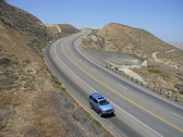
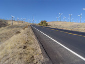
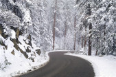
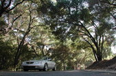
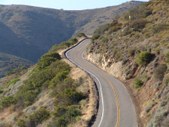
 | 5.
LOCKWOOD VALLEY ROAD LOS PADRES NATIONAL FOREST
Outside Studio Zone
Road travels mainly east/west
Approx 1.5 hrs travel time from Los Angeles |
| 54 Visits
64 Images
Linked Album
locationlink | |
|
 |
|
 |
|
 |
|
 |
|
 |
|
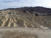
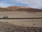
 | 11.
DEATH VALLEY AREA ROADS (1) Trona Wildrose Road
San Bernardino County
North of Trona, CA
Road travels mainly north/south
South of Death Valley National Park
Approx 3.5 hours from Los Angeles |
| 33 Visits
48 Images
Shared Album | |
|
 |
|
 |
|
 |
|
 |
|
 |
|
 |
|
 |
|
 |
|
 | 20.
CARLISLE ROAD Westlake Village Area
Off Westlake Blvd
Ventura County
Road runs approx 2 miles |
| 60 Visits
28 Images
Linked Album
locationlink | |
|
 |
|
 |
|
 |
|
 | 24.
DEER CREEK ROAD Ventura County
Just Outside Studio Zone
Road travels north/south & east/west |
| 186 Visits
104 Images
Linked Album
locationlink | |
|