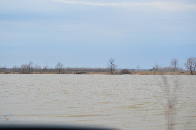
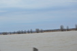
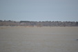
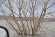
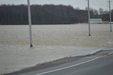
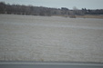
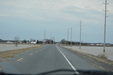
enlarge 36KB, 640x425
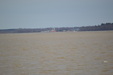
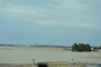
This is the cornfields between Concession 9 and Bourget on RR2
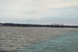
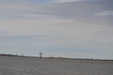
This is where the Snow Geese stop when the water is not so high.
| 
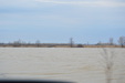
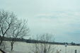
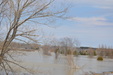
enlarge 58KB, 640x425
| 
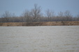
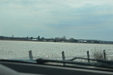
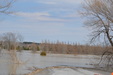
enlarge 36KB, 640x425
| 
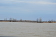
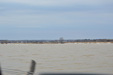
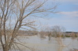
enlarge 34KB, 640x425
| 
enlarge 56KB, 640x425
| 
enlarge 45KB, 640x425
| 
enlarge 35KB, 640x425
| 
enlarge 42KB, 640x425
| 
enlarge 41KB, 640x425
| 
enlarge 32KB, 640x425
| 
enlarge 35KB, 640x425
| 
enlarge 79KB, 640x425
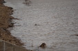
If you look closely almost in the center the black patch is a beaver
| 
enlarge 70KB, 640x425
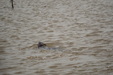
Here you see the beaver better, he kept diving so even with my 200 mm lens it was tough to get a good pic
| 
enlarge 33KB, 640x425
| 
enlarge 35KB, 640x425
| 
enlarge 31KB, 640x425
| 
enlarge 28KB, 640x425
| 
enlarge 38KB, 640x425
| 
enlarge 30KB, 640x425
| 
enlarge 37KB, 640x425
| 
enlarge 35KB, 640x425
| 
enlarge 93KB, 640x425
| 
enlarge 148KB, 640x425
| 
enlarge 114KB, 640x425
| 
enlarge 79KB, 640x425
| 
enlarge 69KB, 640x425
| 
enlarge 85KB, 640x425
| 
enlarge 34KB, 640x425
| 
enlarge 40KB, 640x425
| 
enlarge 55KB, 640x425
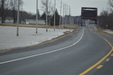
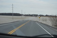
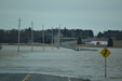
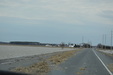
This is the road to Saint Isidore towards the 417 past concession 12 on County Road 9
| 
enlarge 58KB, 640x425
This is the area the drone had video of on FB
| 
enlarge 59KB, 640x425
Some of the water has receded on the North side
| 
enlarge 45KB, 640x425
| 
enlarge 51KB, 640x425
| 
enlarge 98KB, 640x425
| 
enlarge 76KB, 640x425
| 
enlarge 36KB, 640x425
| 
enlarge 47KB, 640x425
We weren't the only ones taking pix
| 
enlarge 33KB, 640x425
| 
enlarge 45KB, 640x425
| 
enlarge 59KB, 640x425
| 
enlarge 51KB, 640x425
| 
enlarge 42KB, 640x425
| 
enlarge 42KB, 640x425
| 
enlarge 29KB, 640x425
|
|