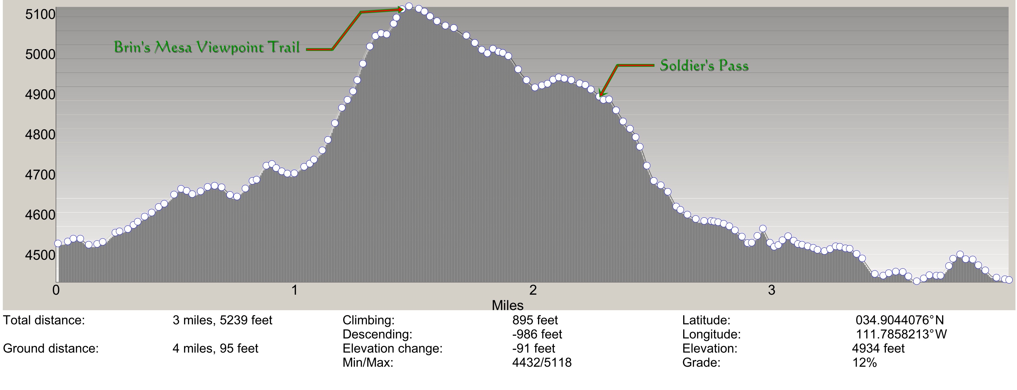
Brins Mesa - Soldiers Pass profile 01
Elevation profile of our hike up to Brins Mesa and out the Soldiers Pass Trail. We left the trail as indicated and climbed another 300 feet (1.4 mi round trip) to a viewpoint (Elev 5449) which is not shown on this profile.
Click on Thumbnail to view. Profile Generated by MyTopo (Maptech) Terrain Navigator program.
Photo 2 of 79, Brins Mesa - Soldiers Pass profile_01.jpg, 53KB, 900x345, 16 Hits
Other Sizes: Small Medium Large X-Large XX-Large Original