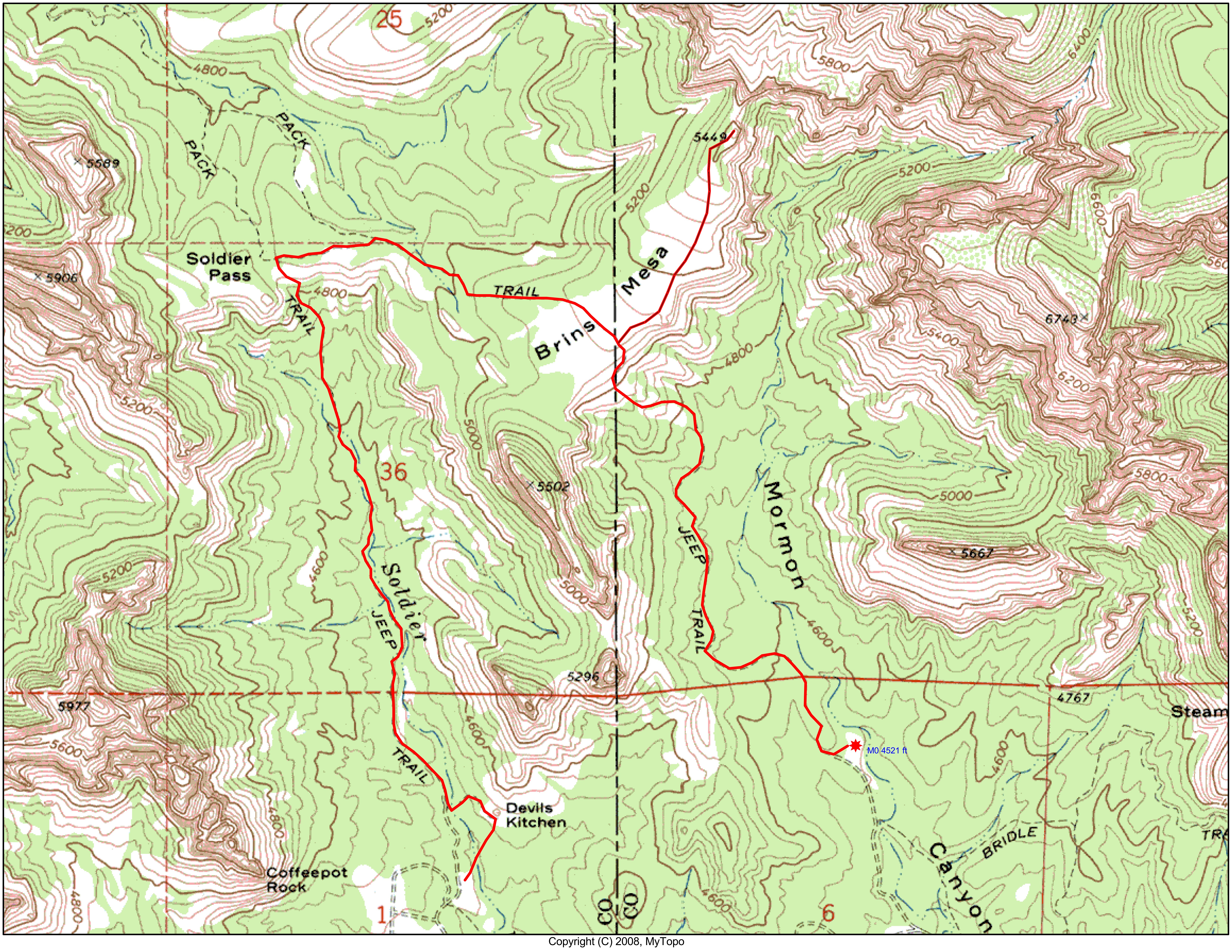
Brins Mesa - Soldiers Pass 01
This map shows a shuttle hike that I did with Steve Maschue. We started at the Jim Thompson/Brins Mesa trailhead, climbed up to a viewpoint high up on Brins Mesa and then continued on to Soldiers Pass and descended Soldier's Canyon to the trailhead. Although we could have made a loop trip back, Elaine and Sue picked us up at the Soldier's Pass trailhead.
Click on map to enlarge it, and then click on "original" size at the bottom. Map generated by MyTopo (Maptech) Terrain Navigator.
Photo 1 of 79, Brins Mesa - Soldiers Pass_01.jpg, 268KB, 800x618, 28 Hits
Other Sizes: Small Medium Large X-Large XX-Large Original